
Kevin Selle
Wichita Falls, TX
Male, 55


I've been a broadcast meteorologist on television since the early 1990's. Happy to answer any questions about the weather or local TV news. Yes, I often wear sneakers on set just out of view of the camera.
Hi, Jack. Nope, the feels like temperatures is a calculated number. Go with the actual temperature.
Share Answer: 

Tornado debris signature. Radar can tell the difference between rain and hail and other “targets”. When a tornado starts lifting things in the air the radar can show that, often called a debris ball. It is helpful because farther away from the radar dish, as the earth curves away from the beam, what we see are radar targets above the surface as opposed the the actual tornado. The TDS gives more confidence that the rotation is actually on the ground. Thanks! https://en.m.wikipedia.org/wiki/Tornado_debris_signature
Share Answer: 
Hi, Ginger. I’m unfamiliar with “pron”. We’re taught to think of air in parcels sometimes because it helps to visualize the atmosphere and how it will react to influences. Like a hot air balloon will rise as long as the inside air is warmer than the surrounding air. So a parcel of dry air can have specific effects, as can a parcel of moist air. If you’re still curious you could contact your local NWS office and weather.gov. The person you listened to was likely a forensic meteorologist, you could do a web search. Thanks!
Share Answer: 
Yes, the center of our building is concrete reinforced. Different stations have different setups but most of us know where we will go it the station is under threat. A few colleagues have had close calls. At home we have an underground shelter. Hope you have a plan in place. Thanks!
Share Answer: 
3D Games Developer/Programmer
 Is the new Oculus Rift thing as cool as everyone says?
Beauty Queen
 Is there truth to the stereotypes of “pageant parents?”
Antiques Dealer
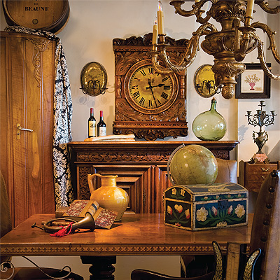 Do you think today's "stuff" will one day be collected as valuable antiques?
Great question, Marv! The exact location would have a lot to do with it but, in general, cold air is heavier than warm air. In the winter, especially at night, the cold air sinks into the valleys and pools up. At the beach, when the sun is out, the land warms faster than the water and the air above the land rises. Since the air needs to be replaced the cooler air moves in from over the water on the sea breeze. Hope that helps. Thanks!
Share Answer: 
Tough call for me not knowing specific examples and a location, Mark. I will say that the temperature can only fall to the dewpoint, so if the moisture content of the air, dewpoint, stays around 32 that could account for what you are seeing. You can find the current dewpoint by looking for your city on weather.gov. Hope that helps.
Share Answer: 
Hmmm...any day with tornadoes is interesting. Severe weather is always fascinating to watch but the idea of loss of life always lingers in the back of your mind. Thanks for the question, Sam.
Share Answer: 
-OR-
 Login with Facebook
 (max 20 characters - letters, numbers, and underscores only. Note that your username is private, and you have the option to choose an alias when asking questions or hosting a Q&A.)
(A valid e-mail address is required. Your e-mail will not be shared with anyone.)
(min 5 characters)
By checking this box, you acknowledge that you have read and agree to Jobstr.com’s Terms and Privacy Policy.
-OR-
Register with Facebook(Don't worry: you'll be able to choose an alias when asking questions or hosting a Q&A.)


 Browse Jobs
 Host a Q&A
 Search

 Submit Your Question
 Host a Q&A
 Last 7

