
Kevin Selle
Wichita Falls, TX
Male, 55


I've been a broadcast meteorologist on television since the early 1990's. Happy to answer any questions about the weather or local TV news. Yes, I often wear sneakers on set just out of view of the camera.
Interesting question. A little out of my area as a local meteorologist. You might have some luck looking around the website for National Center for Atmospheric Research. https://ncar.ucar.edu/
Share Answer: 

Yup. Sure can. Cold air moving into an area, cold air advection, can drop the temperature. And something called evaporative cooling can happen when it is raining. The friction with the air caused by falling raindrops can transfer heat to the water vapor and cool the air as well. Great question!
Share Answer: 
I usually answer this questions like this. I really don't like the use of the word "normal" in weather. "Average" is better. Over simplified, if the "normal temperature for this date is 75 degrees and we look a the records for the last 100 years. In theory half of those years the temperature could have been 50 degrees and half 100 degrees. The "normal" is 75 but it was never 75. So, there are swings in the global weather patterns constantly you're at one end of the swing! Hope that makes sense.
Share Answer: 
Hi, Erin. I’d go to weather.gov (not .com). Click on your area of the map and it will take you to the local National Weather Service office and you’ll see phone and email on the bottom. Good luck.
Share Answer: 
Audiologist
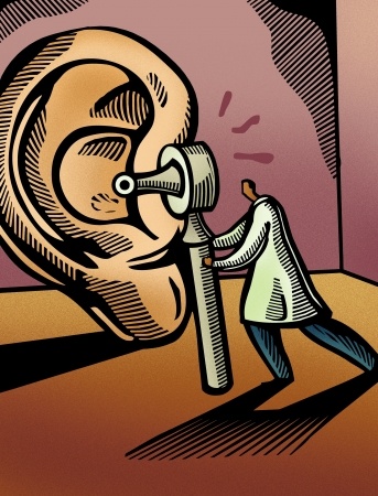 Are earbuds dangerous for my ears?
Hairstylist and Makeup Artist
 How much am I supposed to tip my hairstylist?
Beauty Queen
 Is there truth to the stereotypes of “pageant parents?”
There is a lot of that out there these days, especially on social media. I’m pretty lucky, doesn’t happen too often. Busted snow forecasts seem to be the worst. I’m in Texas so not as big a problem. Thanks!
Share Answer: 
Great question, Jim. An Atlantic hurricane can come to Texas, and in a rare case New Mexico. The storms are guided by the upper atmospheric pattern of ridges and troughs. Imagine hills and valleys. The atmosphere is always in motion and a storm will take the easiest path, harder to climb a hill, easier to go through the valley. The general pattern during hurricane season has a hill over the Atlantic and storms will travel around the edge of the hill toward the valley in the eastern US, but remember the hills and valleys can change. Also, this year hurricanes from the Pacific have brought rain to NM and TX.
Share Answer: 
We use the weather forecast models and the other tools mentioned in your other question to generate a forecast and then use television, radio and social media to share information.
Share Answer: 
-OR-
 Login with Facebook
 (max 20 characters - letters, numbers, and underscores only. Note that your username is private, and you have the option to choose an alias when asking questions or hosting a Q&A.)
(A valid e-mail address is required. Your e-mail will not be shared with anyone.)
(min 5 characters)
By checking this box, you acknowledge that you have read and agree to Jobstr.com’s Terms and Privacy Policy.
-OR-
Register with Facebook(Don't worry: you'll be able to choose an alias when asking questions or hosting a Q&A.)


 Browse Jobs
 Host a Q&A
 Search

 Submit Your Question
 Host a Q&A
 Last 7

